Map Disclaimer: The mapped data is derived from the City of Oxnard GIS Program, which is developed and operated solely for the convenience of the City. The maps are for illustrative purposes only. The City does not warrant the accuracy of these maps, and no decision involving a risk of injury or economic loss should be made in reliance thereon.
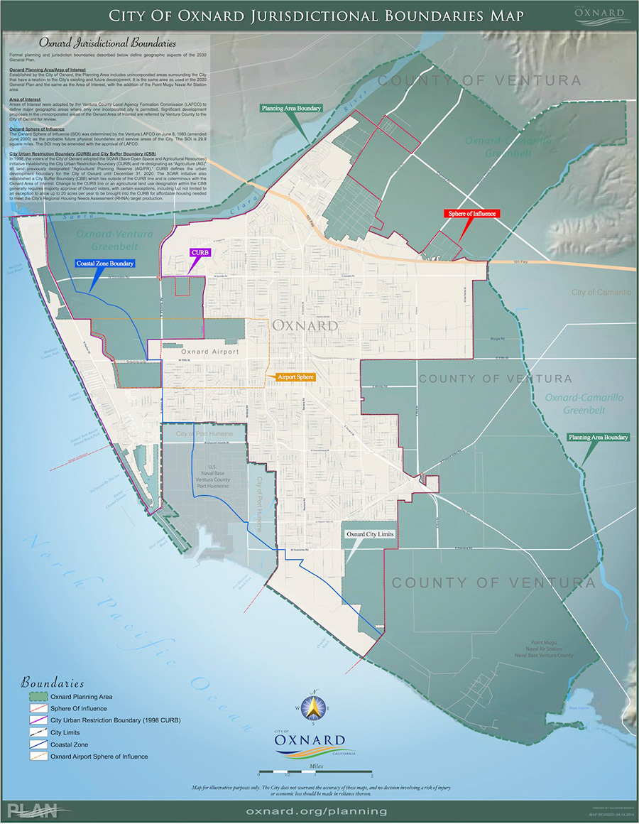 Oxnard Jurisdictional Boundaries Map |  Oxnard 2030 General Plan Map |
 Oxnard Zoning Map |  Oxnard Neighborhoods Map |
 Oxnard Specific Plan Map Download Hi-Rez PDF |  Oxnard Downtown Code Map |
 Oxnard Streets Map |  Oxnard Street Index |